
SITUATING FLYOVER TERRITORY: Operational Landscapes of the American Interior
2017 Research Scholarship, Department of Landscape Architecture, University of Illinois at Urbana-Champaign, USA
2026 Revisited
Fieldwork Location: Great Lakes, Great Plains, and Mississippi River Corridor, USA
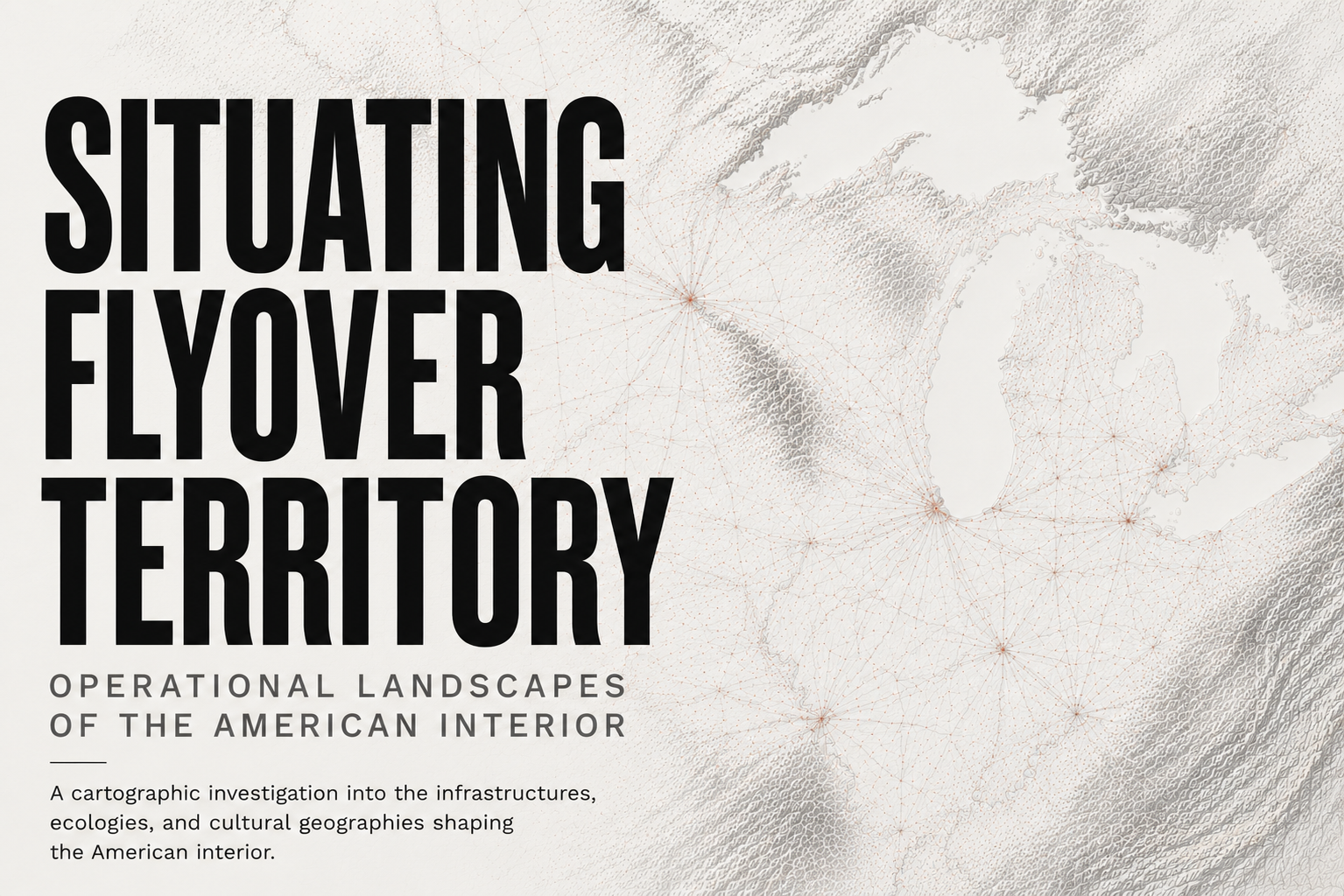
A cartographic investigation into the infrastructures, ecologies, and cultural geographies shaping the American interior.
SITUATING FLYOVER TERRITORY: Operational Landscapes of the American Interior explores the American interior as a layered operational landscape shaped by infrastructure, ecology, mobility, logistics, and regional identity. Through cartography, fieldwork, photography, and territorial observation, the project examines how freight rail, inland waterways, aviation networks, watersheds, climate systems, agricultural landscapes, cultural regions, and postindustrial urbanism continuously redraw the geography of the Midwest and Great Plains. Rather than treating “flyover country” as empty space between coasts, the project reveals the American interior as a complex territorial system where infrastructure, environment, culture, and capital overlap across multiple scales.
A larger territorial atlas is currently in development.