FLYOVER
2017 Landscape Strategies Laboratory, University of Illinois at Urbana-Champaign, USA
This self-initiated project visualizes a new understanding of urban territory.
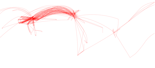
FLYOVER investigates urban territory through the lens of aviation networks, illuminating systemic relationships and flows between various boundaries within the contiguous United States. Spatializing the contiguous air traffic control (ATC) zones and the catchment area for each zone’s namesake airport reveals aviation infrastructure’s influence on constructing new boundaries. It is through the overlaying and overlapping of these borderlines that one is forced to rethink its impact on urban territory.
FLYOVER Reshaping urban territory.
Domestic Flight Movement
Air Traffic Control Zones
Airport Catchment Area


